Our Services
Comprised of the Industry’s Leading GIS Analysts, Experienced Pilots, Lab Technicians, Surveyors and Aerial Photographers.
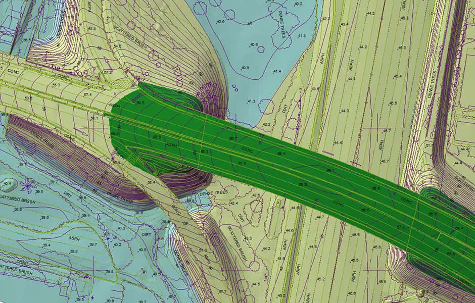
Planimetric Mapping
A map that displays only the x,y locations of features and represents only horizontal distances.
Learn more
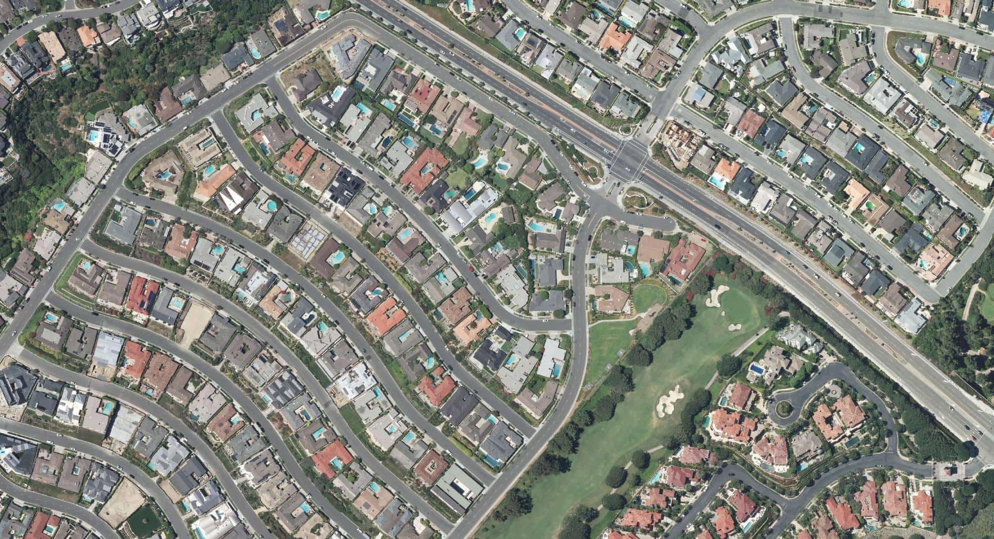
Orthophotography
An aerial photograph from which distortions owing to camera tilt and ground relief have been removed. An orthophotography has the same scale throughout and can be used as a map.
Learn more
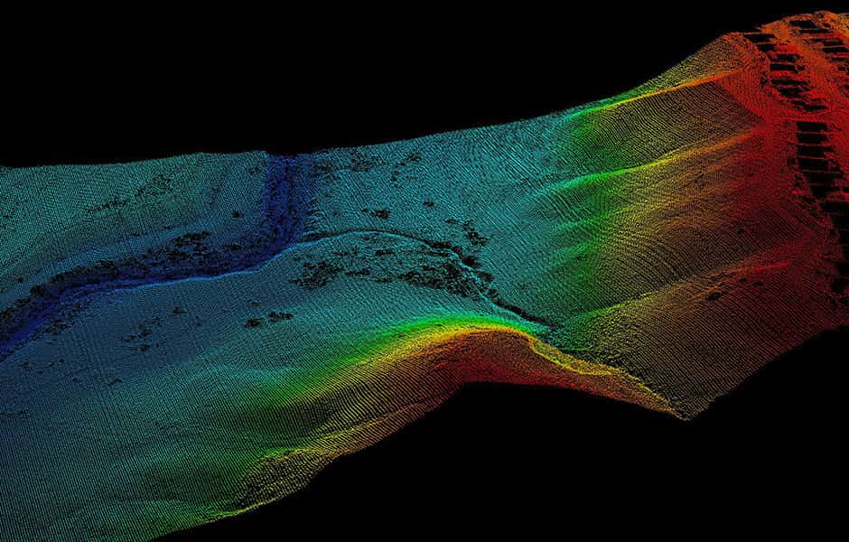
LiDAR Acquisition
A remote-sensing technique that uses lasers to measure distances to reflective surfaces.
Learn more
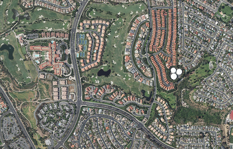
Historical Archive
We have a vast collection of stock photos and historical imagery. These images can be requested in print or digital format at any specific size.
Learn more
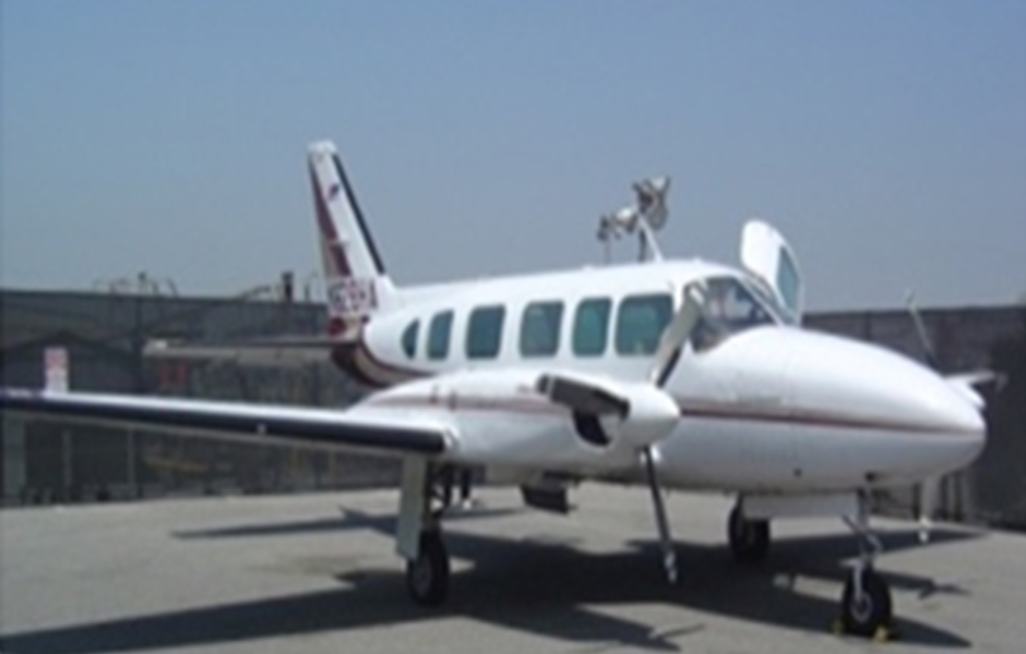
Aerial Photography
Aerial photography is often used as a cartographic data source for basemapping, locating geographic features, and interpreting environmental conditions.
Learn more
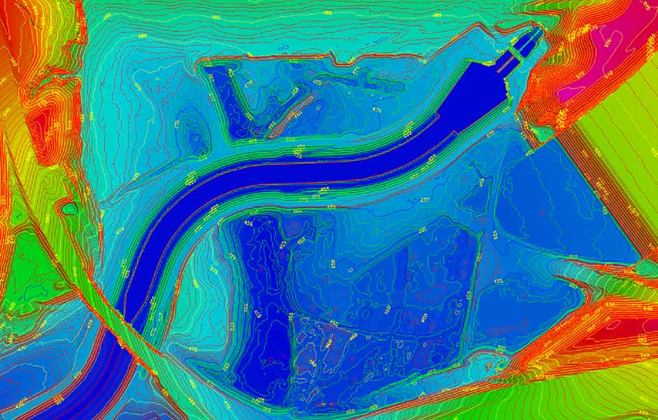
Topography
Mapping of land surfaces, including relief (relative positions and elevations) and the position of natural and constructed features.
Learn more
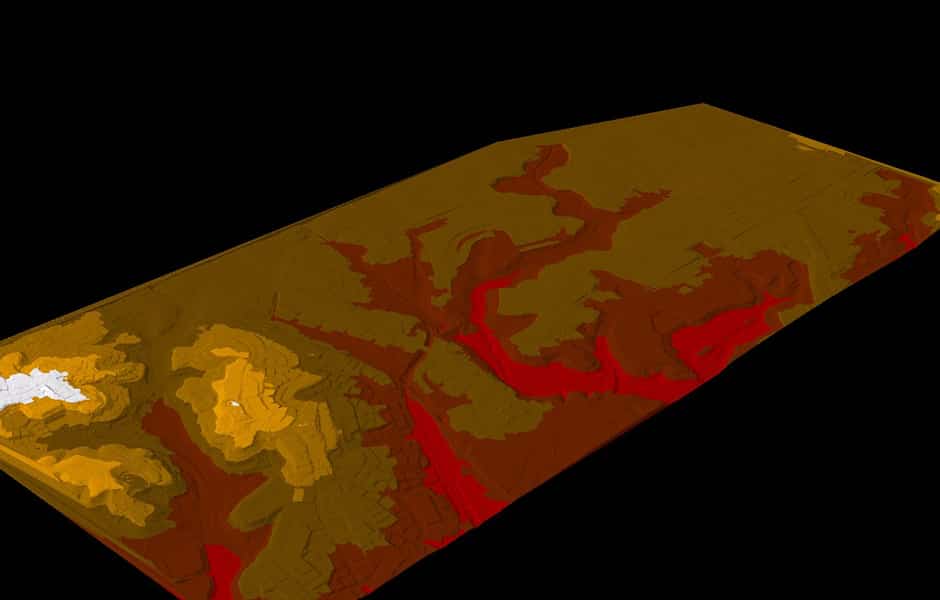
Digital Elevated Models
The representation of continuous elevation values over a topographic surface by a regular array of z-values, referenced to a common datum. DEMs are typically used to represent terrain relief.
Learn more
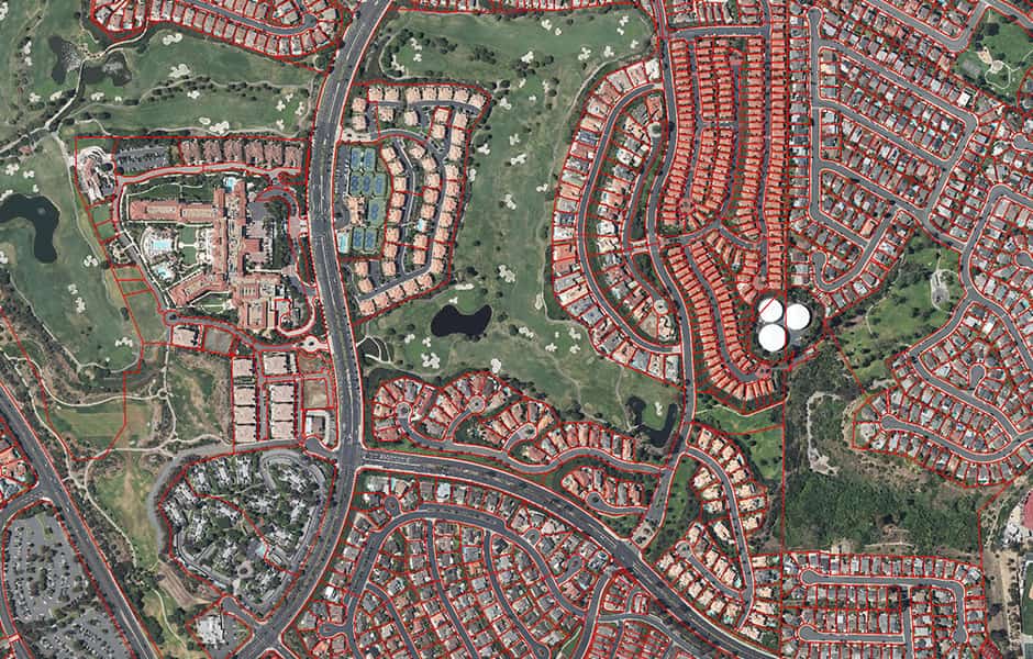
Geographic Information Systems
An integrated collection of computer software and data used to view and manage information about geographic places, analyze spatial relationships, and model spatial processes.
Learn more
