Planimetric Mapping Services
DMI has been producing Orthophotgraphy for over 28 years, we strive to delivery and provide only high quality Orthophotos; an Orthophoto is similar to a traditional map product but unlike to the traditional map the orthophoto is capable to exhibit actual ground features.
Planimetric Maps
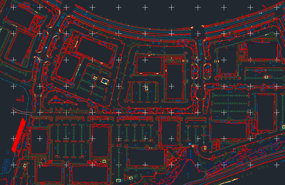
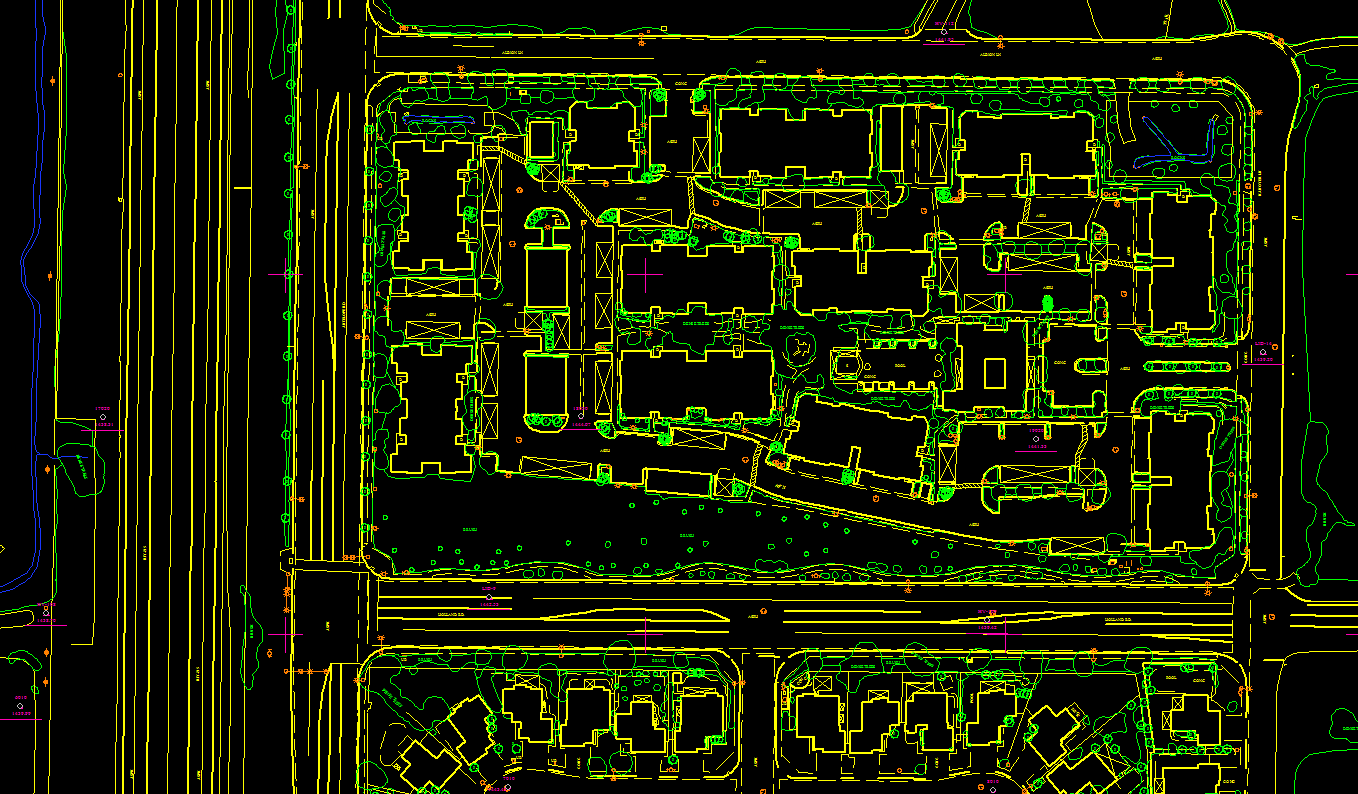
Planimetric maps develops natural features with their exact coordinate locations, these features are comprised of vegetation, curbs, trails, fences, utility poles, drainage systems, driveways, road boundaries and curbs. At the clients request we can render the images to either 2D or 3D formats. We also offer our clients with updated planimetric mapping by overlaying the original planimetry over the new imagery, this can be a practical way for our clients to detect areas that have been altered.

Up To Standard With the Following Organizations
- National Map Accuracy Standards (NMAS)
- American Society of Photogrammetry and Remote Sensing (ASPRS)
- National Standard for Spatial Data Accuracy (NSSDA)
- Federal Emergency Management Agency (FEMA)
- U.S. Geological Survey Agency (USGS)

