Topographic Services
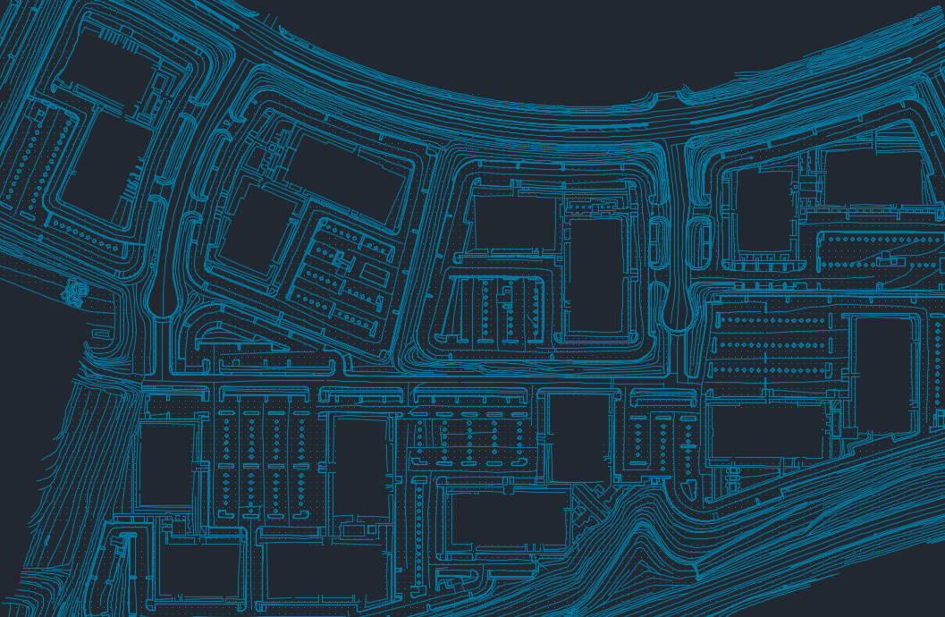
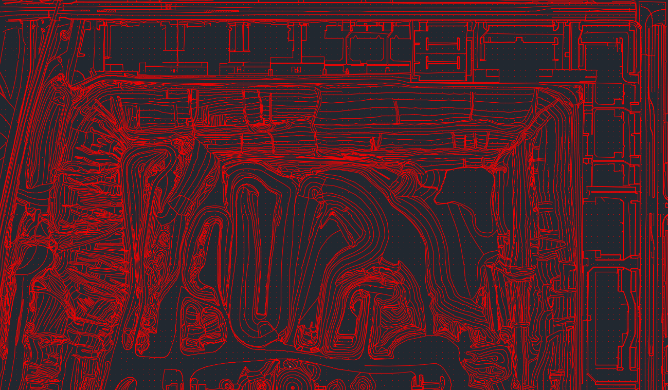
Topographic maps are frequently requested from our clients who require high-accuracy maps which contains spot elevations, contour lines and various elevation data.
Topographic Maps
DMI’s efficient photogrammetric technique consists of taking an aerial image and using our top of the line analytical stereoplotter systems to extract topographic data from an aerial photograph. By analyzing the lidar sets and aerial images, we also use our analytical stereoplotter systems to view the images in 3D, that enables to collect necessary high-accuracy map data needed to develop our topographic map.

Analytical Stereoplotter System
In order for us to create contour on our topographic maps, DMI uses the analytical stereoplotter systems to figure out the elevations. With the help of these instruments, it has allowed us to perform more precise calculations to guarantee accurate production.

