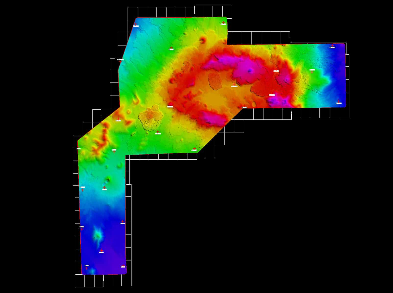
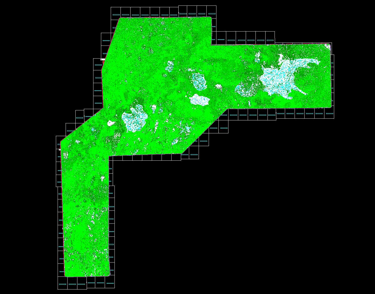
Digital Elevation Models
A DEM is an assortment of distinct elevation points at evenly spaced intervals. The DEM reproduces sudden variations in terrain relief (slope breaks, ridgelines and incised streams).
Developing A Digital Elevation Model
A photogrammetric approach that DMI uses to attain a DEM can be image matching, which is fully computerized or manually collecting mass points and breaklines. Another method is to use radar sensors or lasers to extract information. With these techniques, DMI then uses the data to process and generate the final DEM product.

Digital Elevation Model Purposes
DEM can be used for geospatial solutions such as the formation of precise terrain models, floodplain maps, transportation structures, and land-use. DEM is also be used to generate or produce topographic maps and aerial imagery.

