LiDAR Acquisitions
In today’s competitive geospatial information market, DMI strives to exhibit superb service and delivery of accurate terrain data to clients, which is crucial for planning, development and operations activities.
LiDAR
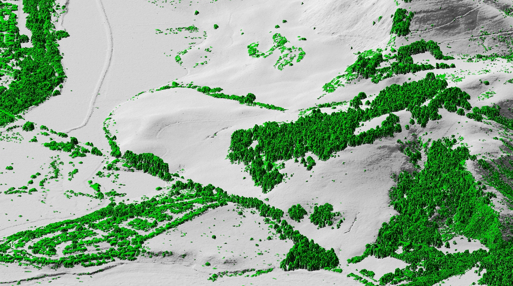
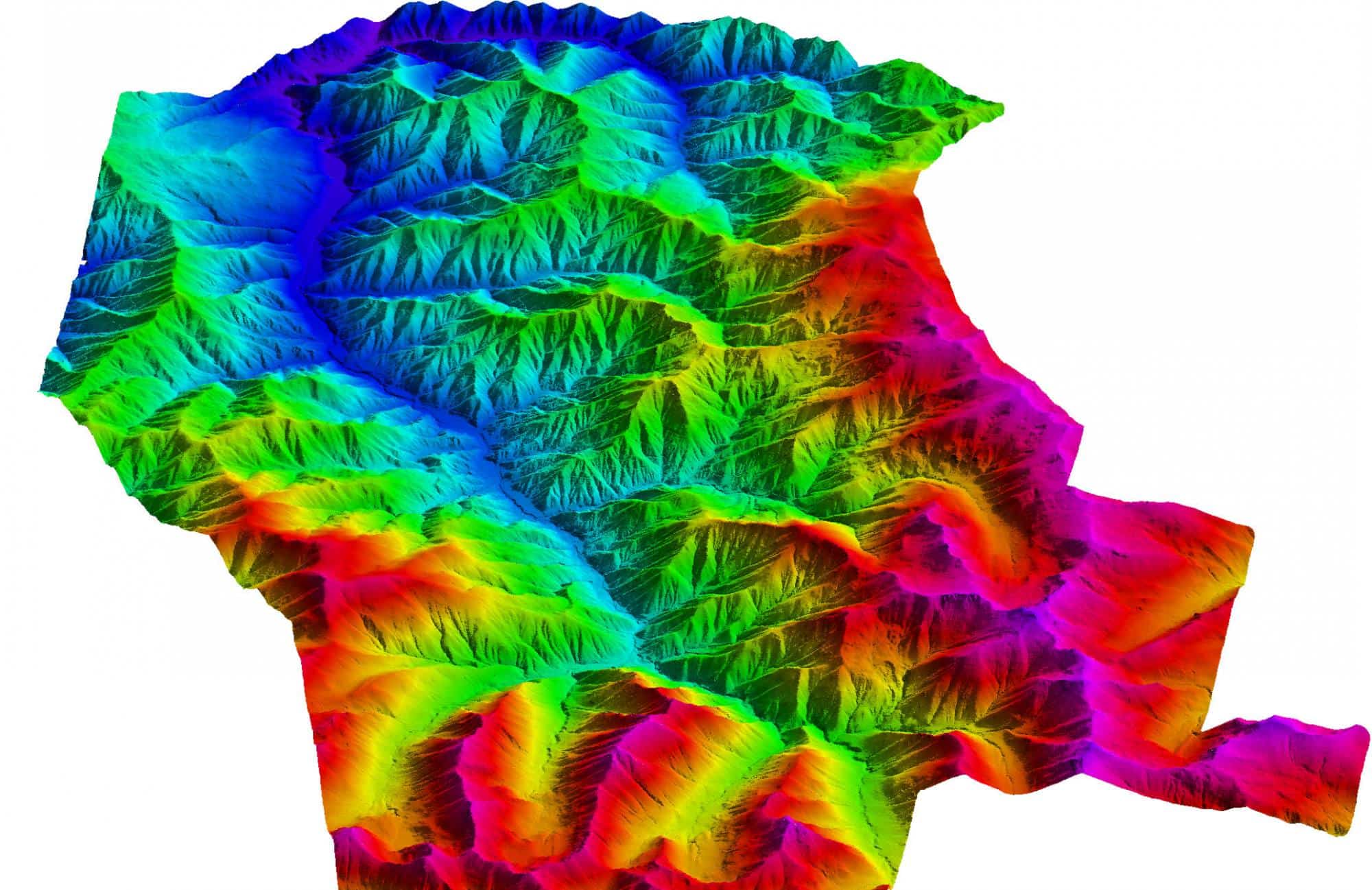
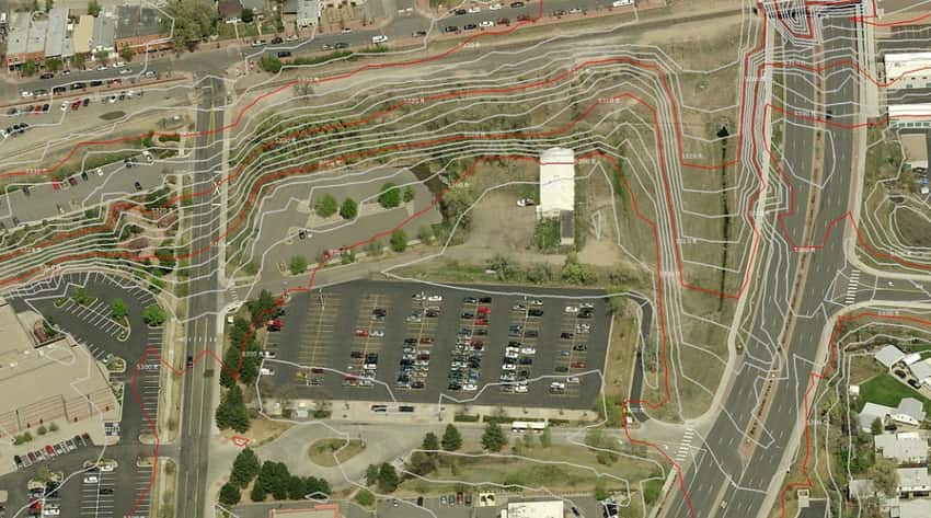
Although elevation data can be acquired by conventional surveying or photogrammetric techniques, with the use of airborne light detection and ranging, LiDAR provides digital mapping projects with highly accurate base map information. This is a cost-effective method to acquire elevation data; the data is compiled and processed to generate very detailed bare earth models in CADD, ESRI, LAS, or ASCII formats. Derived imagery can be comprised of planimetric detail, digital surface models (DSM), digital elevation models (DEM), digital terrain models (DTM), and topographic maps.
Base Mapping
- Digital Orthophotography
- Digital photogrammetric mapping
- DTM / DSM / DEM Generation
Floodplain Mapping
- LiDAR data supports flood hazard analyses and hydrologic and hydraulic modeling.
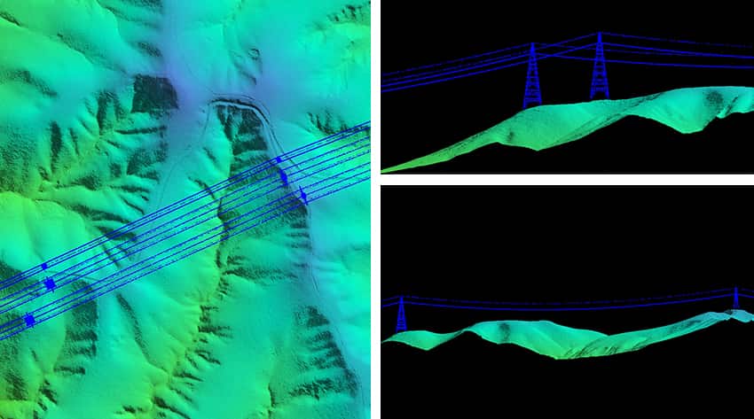
Power / Utility Industry
- Monitor vegetation growth and tree locations
- Determine location of tower centers
- Plan, manage and maintain powerlines
- Analyze the risks of transmission line sagging, tree interference, and clearance
- Offers high density data offering superior vegetation penetration and greater resolution and detail of transmission lines
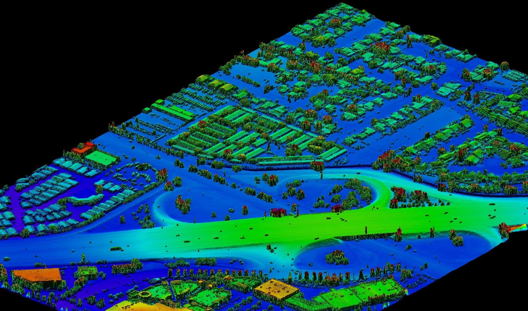
Mining Industry
- Prepare and plan site
- Provide precise volumetric calculations
- Monitor land subsidence
- Detect changes in mine sites
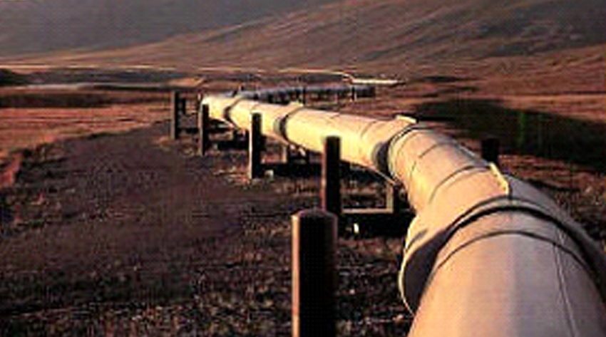
Oil & Gas Industry
- Determine where new pipeline should be laid
- Detect changes in areas around existing pipelines
- Monitor vegetation growth
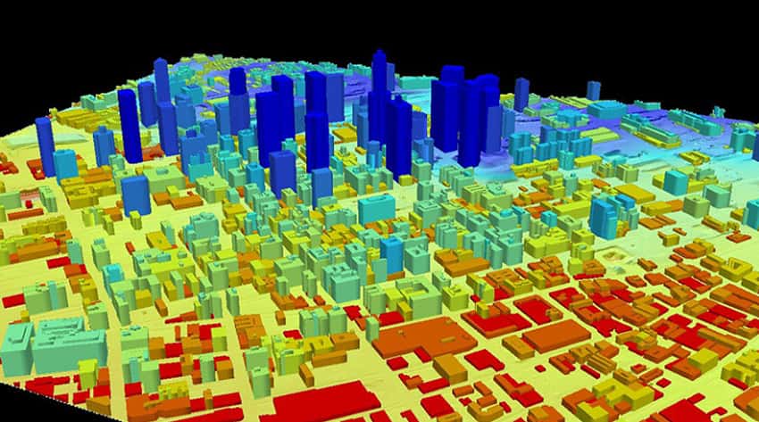
Urban Modeling
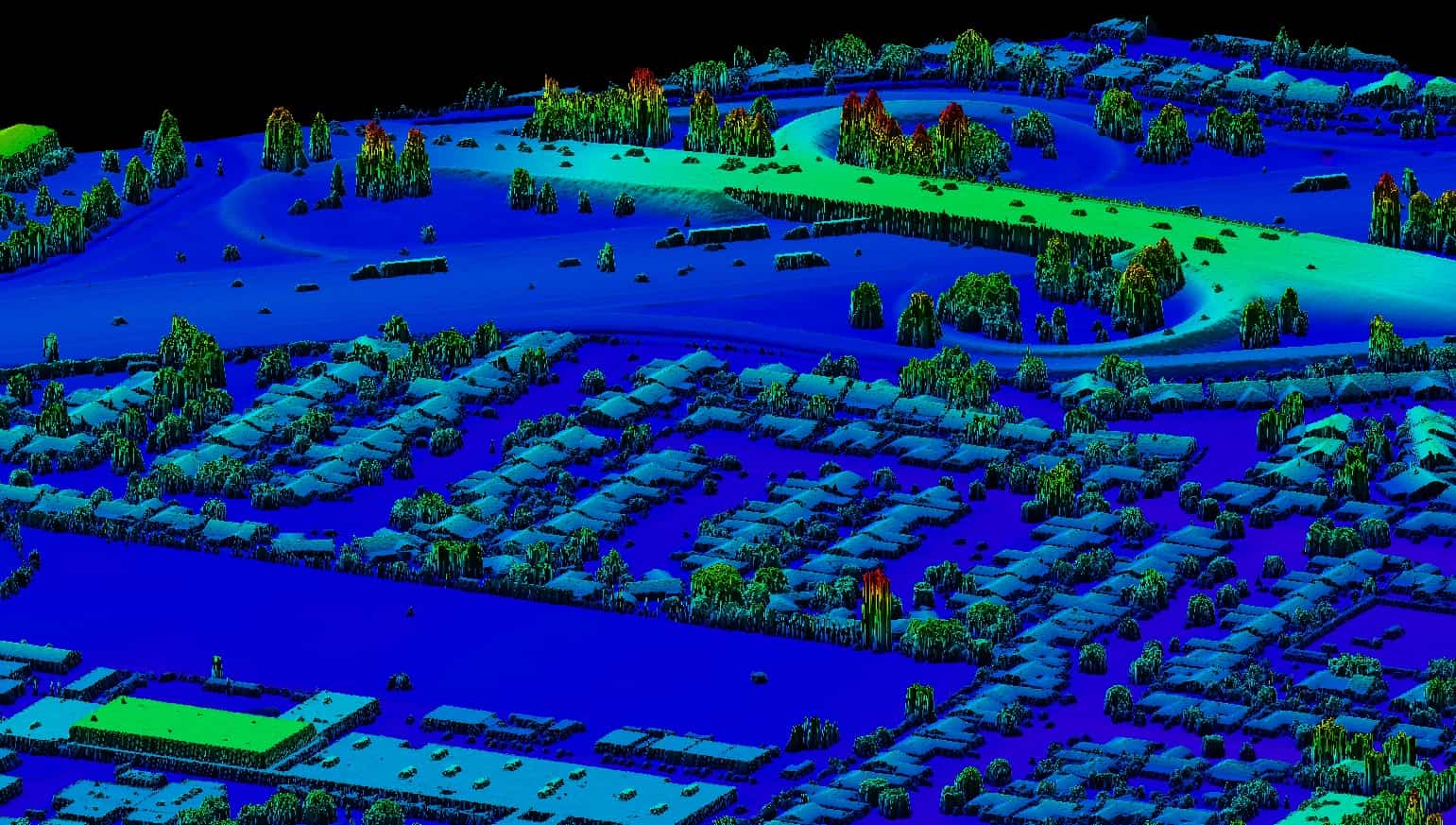
3D models from bare-earth and reflective-surface LiDAR data can be used in analysis and visualization of;
- urban planning
- line-of-sight studies
- viewshed analysis, etc.
Deliverables
LiDAR data points (X, Y, and Z) are used to develop the following geospatial deliverables:
- Digital Elevation Models (DEM)
- Digital Terrain Models (DEM)
- Digital Surface Models (DSM)
- Studies of Vegetation Layer
- 3D Models
